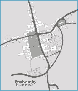
The original maps were hand drawn by Tom Cann and Hannah Downing, then edited digitally by Phil Mayhall.
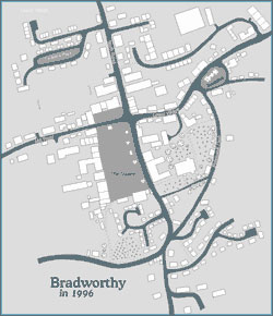
Click on either map to display an enlarged image. 1930's map, or an enlarged 1996 map - Be aware each image may take a while to load fully.
Show me the
Bradworthy
Home Page